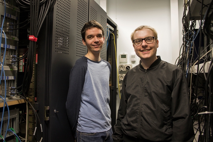
A team of Australian National University (ANU) Research School of Computer Science students have successfully brought their TechLauncher project to the world.
Their project, in collaboration with Geoscience Australia and the ANU TechLauncher initiative, shows how to efficiently weave satellite imagery into Web applications.
The students, Dmitry Brizhinev, Samuel Toyer and Zhiduo Zhang also worked with the many international professionals and academics of the OGC/W3C Spatial Data on the Web Working Group.
The open source software provides an interface that conforms to new Web of Data standards and can be incorporated into web applications. It has exciting potential for use with spatial data applications or big data projects such as Internet of Things (IoT), a network of connected devices embedded in everyday objects, sending and receiving data.
ANU Associate Professor Kerry Taylor said, “This development will bring remote sensing imagery into the public domain. It’s an exciting time for what I see as ground breaking success for both ANU and Geoscience Australia.”
Dr. Matthew Purss, Senior Advisor on Geospatial Standards at Geoscience Australia and project collaborator commented, “This Project showcased both the high calibre of the ANU student team and the value of international standards to enable new approaches to exploiting geospatial data across domains and in a globally consistent and scalable way.”
“Geoscience Australia is now leveraging this work to build an interoperable spatial data infrastructure to improve the integration of geoscientific and statistical information between a number of Australian Government Agencies” Said Dr. Purss.
The World Wide Web Consortium (W3C) and the Open Geospatial Consortium (OGC) standards bodies have jointly published a working group note authored by ANU students Dmitry Brizhinev, Samuel Toyer, Zhiduo Zhang and ANU Associate Professor Kerry Taylor. A poster titled QBCov: A Linked Data interface for Discrete Global Grid Systems, a new approach to delivering coverage data on the web was presented at the American Geophysical Union’s 2016 Fall Meeting in San Francisco, the largest gathering of Earth and space scientists in the world.

